
Via Via Apsyrtides
STAGE 4
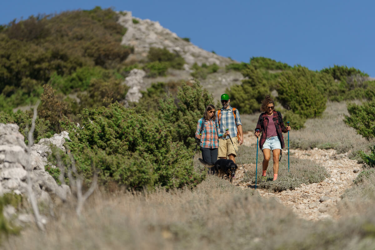
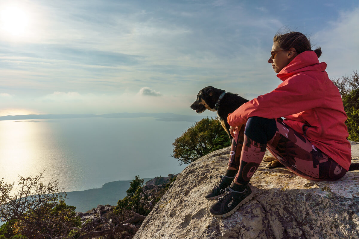
CRES - VALUN
STAGE 4
CRES - VALUN
EASY
In ancient and medieval times, Cres was a small, but a well-fortified town, always overshadowed by the more important Osor. By the middle of the 15th century, its luck turned. The island’s duke decided to move from the fading and malaria-infested Osor to Cres, which thus became the new center of the island. Over the next 150 years, the town of Cres developed into a beautiful and rich Renaissance town, newly fortified by walls and towers. The majority of the fortifications were demolished in the 19th century, but the old town center was preserved, as was most of the idyllic landscape south of the town, where monasteries and small churches line the coast of the deep bay, with a network of dry stone walls and olive groves rising above them. The olive groves continue on the other side of the hill, around the magnificent Valun Bay, the largest on the island.
-
14 km
-
450 m
-
HIGHEST POINT: 270 m
-
LOWEST POINT : 0 m
-
DIFFICULTY: 3/10
-
DURATION: 4 h
DIFFICULTY
LANDSCAPE
ENDURANCE
EXPERIENCE
FRANCISCAN MONASTERY
The monastery of Conventual Franciscans, founded in the middle of the 13th century, is situated by the old road going from Cres to Lubenice and Osor. The humbleness of the mendicant order is reflected in the simplicity of the church, the sophisticated design of which only accentuates the Gothic choir seats and the Renaissance memorial chapel of Friar Antun Marcello Petris, Minister General of the entire order at the time. In the spirit of St. Francis’s love for nature (as the patron saint of ecology), the Franciscans of Cres still tend to the monastery’s gardens and orchards.
PISKEL (Pisčel, Pišće)
The southern part of the Bay of Cres is particularly shallow (up to 2 m) and muddy, as well as brackish due to the rich sources at the bottom of the bay. At one of them, maybe already in the Roman times, a round walled pool (“piscina”) was built, from where the water drains into the nearby pond via a stone channel. The muddy estuary of the occasional stream represents a valuable micro-habitat of salty soil with reeds, and the surrounding thick layers of terra rossa have always helped grow the best gardens and orchards on the island. The site of today’s marina was once used for farming prized oysters.
SV. MARKO (St. Mark) (Valun tablet)
When a portico was added to the modest Romanesque Church of St. Mark, the architect also incorporated one of the old tombstones from the nearby cemetery. After it was uncovered in 1907, it became known as the Valun tablet, the oldest Glagolitic monument in Croatia. Unique for being bilingual (Old Croatian and Latin) and digraphic (Glagolitic and Latin), it bears witness to the fact that around the year 1000 Romanised natives and Croatian newcomers lived here in harmony.
SHARE THIS TRAIL
- RULES
- SERVICES
- SAFETY & EQUIPMENT
- GETTING THERE
• Via Apsyrtides trail system is intended for experienced mountain climbers and recreationists. The trails provide a basic level of walkability, without additional measures of safety and protection. Use these trails at your own risk!
• Rugged landscape and climatic conditions of the island can be challenging. Assess your fitness level well and wear appropriate footwear and clothing!
• Water availability in some villages is limited. Carry enough water with you!
• Your responsibility is to follow the laws and regulations of the Republic of Croatia related to nature protection, accommodation and respect for other people’s property.
• Leave only footprints, take only memories! Dispose of garbage in the villages, in designated areas. Do not collect wild plants and do not disturb animals you come across! Keep the gates closed behind you!
• You are in an area of high wildfire risk. Lighting open fires is strictly forbidden!
• Water: You will find the nearest drinking water in Valun at the cemetery and in the port area
• Shop: There is a grocery store on the square in Valun.
• Caffe bar: Valun (Caffe bar Molo)
• Restaurant: You can eat top-quality fish delicacies and pizzas in one of the many restaurants in Valun, open exclusively during the summer seasons.
• Pharmacy: Nearest in the town of Cres
• Doctor: Nearest in the town of Cres
• ATM: Valun
SAFETY INFORMATION
Mind the strong Bura wind, especially in winter and pay attention to:
- ticks
- scorpions
- wild animals (wild boar)
- heat
RECOMMENDED EQUIPMENT
- GPS
- water
- waterfilter
- mobile phone
- headlamp
Cres
There are two directions available by ferries: via Krk and via Istria
KRK: Krk Bridge – Ferry Terminal Valbiska (Krk)- Merag (Cres)
ISTRIA: Istria – Ferry Terminal Brestova (Istria) – Porozina (Cres)
• Ferry tickets are sold at ferry terminals; however, you can buy or book a ferry ticket in advance. More information can be found at www.jadrolinija.hr/
Valun
Take the D100 state road and at the intersection turn for the road leading to Valun, park your vehicle at one of the public parking lots in the village and begin your hike.
COORDINATES:
Cres
DD 44.96026, 14.40792
UTM 453302.79, 4978706.30, 33T
DMS 44° 57′ 36.936″, 14° 24′ 28.512″
Valun
DD 44.90362, 14.35793
UTM 449310.29, 4972444.39, 33T
DMS 44° 57′ 36.936″, 14° 24′ 28.512″